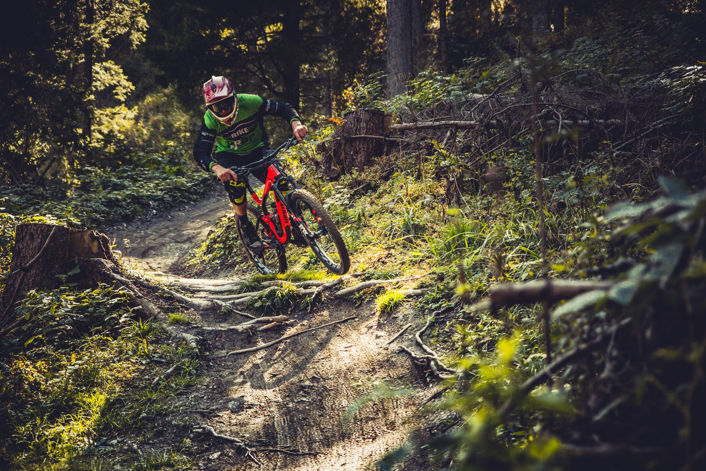
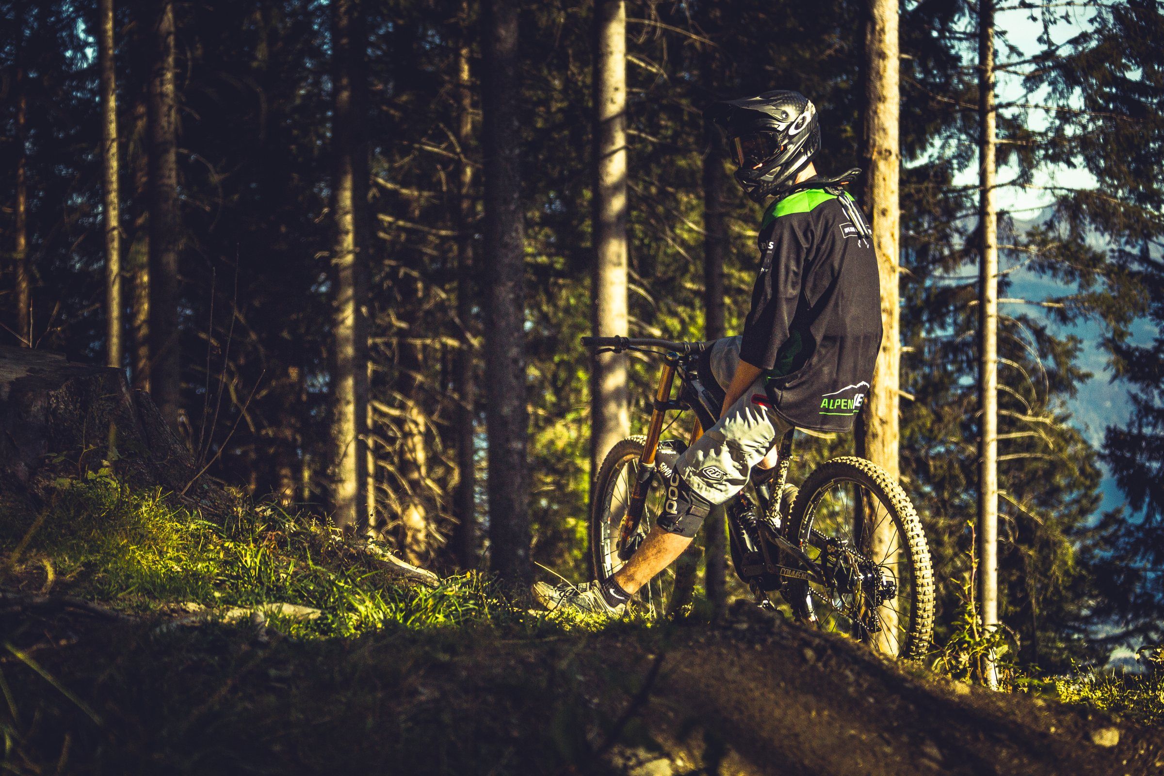
Rider on a bike in the dark forest on Brambrüesch

Welcome to Alpen­bikepark Chur

  • 5Trails
  • 2Sections
  • 1000Vertical metres
    top to bottom

Alpenbikepark Chur gives you five varied downhill trails in three difficulty levels (black / red / blue). A full 1000 metres of elevation lie between the start at 1595 m and the valley station at 595 m, split into two sections (top / bottom).

The trails are packed with features like berms, jumps, North Shore features, drops, root and rock sections. They’re made for proper full-send riding – speed & airtime come by the bucketload at Alpenbikepark Chur! If you’re just starting out, our two blue trails, Brambi Flow and Chur Flow, are the best fit.

Thanks to the bike park’s relatively low altitude (lower trails: 1170 – 595 m, upper trails: 1595 – 1170 m), Alpenbikepark is also a well-established draw outside the main season. Pre-season in spring is usually planned from as early as March, and the autumn season often runs well into November or even December.

Park map

  1. 1595 m BrambrüeschTop station · Start
  2. Top section
    425 m descent
  3. 1170 m KänzeliMiddle station
  4. Bottom section
    575 m descent
  5. 595 m Chur valley stationFinish · Kasernenstrasse 15
Schematic park map – not to scale. The Bergbahnen Chur gondolas connect all three stations.

Note for the board: TODO: Offizielle Parkkarte (PDF/Bild) vom Vorstand einfügen – auf der alten Website war nur ein leerer «Button» verlinkt.

The trails

Legend

  • open
  • closed
  • Blue (easy) easy
  • Red (intermediate) intermediate
  • Black (difficult) difficult

Top section Brambrüesch Känzeli · 1595 – 1170 m

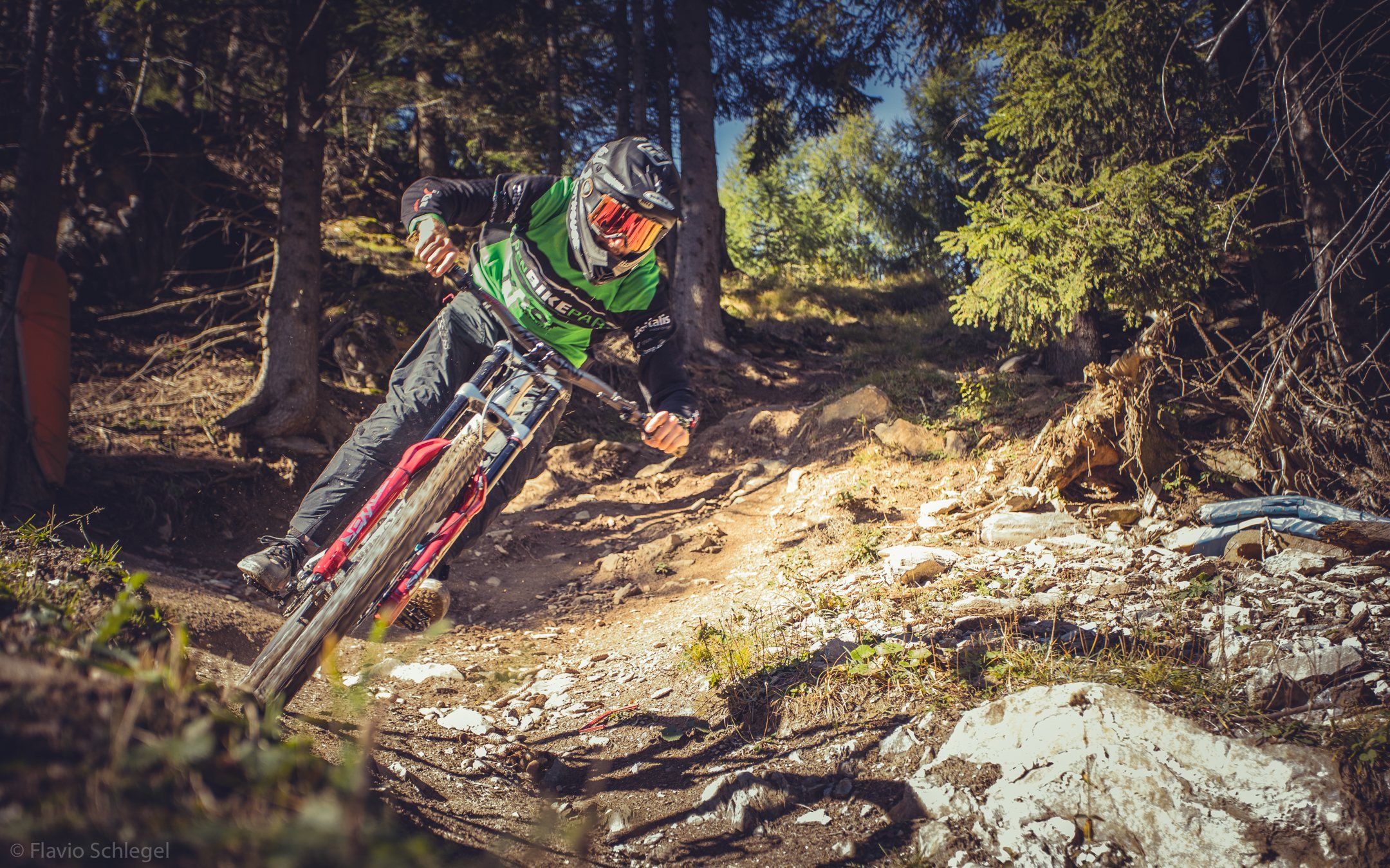
Rider on a berm in the sunny forest on Brambrüesch
Blue (easy)

Brambi Flow

BrambrüeschKänzeli open

Length
2.56 km
Descent
457 m
Difficulty
Blue
Type
Flow trail
Trail no.
701

Our Brambi Flow is fun for everyone! Whether you’re a beginner or a true bike park shredder – everyone gets their kicks here.

A wide, not very steep trail with lots of berms, hips, jumps and other “playful features”, where you can take it easy or really let it rip – your call. Built in spring 2015.

  • Berms
  • Hips
  • Jumps
  • Playful features
Brambi Flow on Trailforks (opens in a new tab)
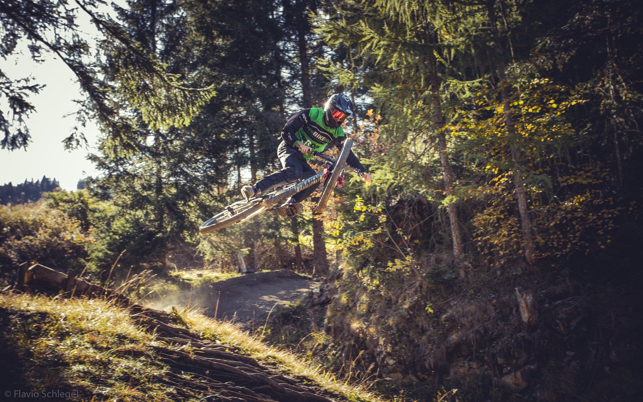
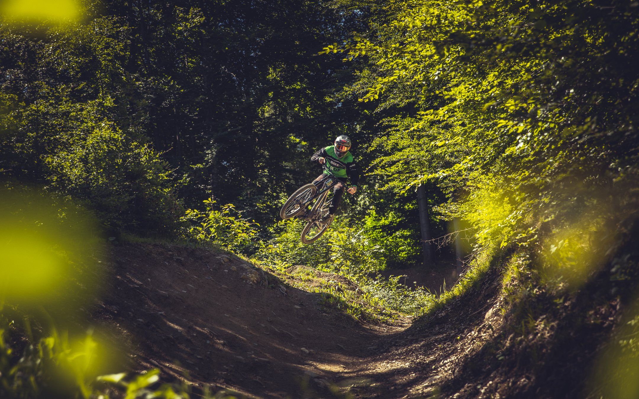
Rider in the air over a kicker in the forest
Red (intermediate)

Alpenride

BrambrüeschKänzeli open

Length
2 km
Descent
408 m
Difficulty
Red
Type
Freeride
Trail no.
702

The freeride classic on Brambrüesch: plenty of jumps and drops, plus a good mix of easier and harder sections. Got the Brambi Flow dialled? This is your next step.

  • Jumps
  • Drops
  • Berms
Alpenride on Trailforks (opens in a new tab)
Downhill rider in a rock section with a cloud of dust
Black (difficult)

Rock'n'Roll

BrambrüeschKänzeli open

Length
1.94 km
Descent
437 m
Difficulty
Black
Type
Downhill / Freeride
Trail no.
703

The black line of the top section. Technically demanding and full of jumps – this is where advanced downhillers get their fix. On Trailforks you’ll also find the “Rock’n’Roll Jumpline” variant.

  • Rock gardens
  • Roots
  • Jumps
  • Drops
Rock'n'Roll on Trailforks (opens in a new tab)

Bottom section Känzeli Chur valley station · 1170 – 595 m

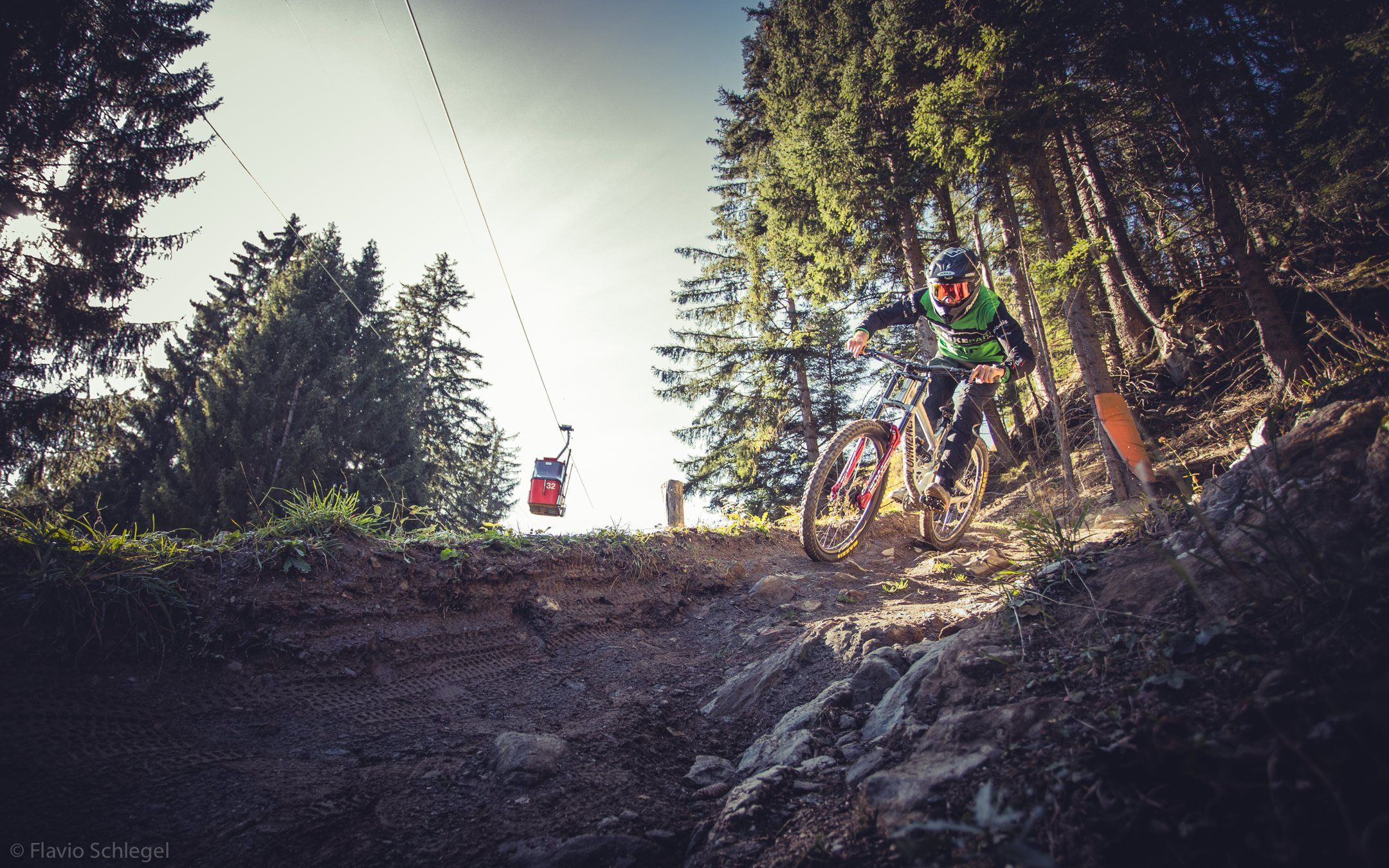
Rider on the trail with a Brambrüeschbahn gondola floating in the background
Blue (easy)

Chur Flow

KänzeliChur valley station open

Length
3.8 km
Descent
552 m
Difficulty
Blue
Type
Flow trail / Freeride
Trail no.
707

Moderately steep and really varied. The main line works great for beginners – freeride pros will love the punchy side lines with jumps, drops, step-ups and step-downs. Together with Brambi Flow, it makes up the blue line from the very top all the way down into town.

  • Berms
  • Jumps
  • Drops
  • Step-ups
  • Step-downs
Chur Flow on Trailforks (opens in a new tab)
Backlit rider on a steep forest trail
Black (difficult)

Vertigo

KänzeliChur valley station open

Length
2.8 km
Descent
570 m
Difficulty
Black
Type
Downhill / Freeride
Trail no.
708

The black line of the bottom section: a steep S-bend to start, a jump series in the upper part and a technically demanding lower part. For experienced freeriders who know what they’re doing.

  • Banked turns
  • Jump line
  • Roots
  • Rock gardens
Vertigo on Trailforks (opens in a new tab)

Map & live status

Region on Trailforks

This content is provided by Trailforks. Loading it sends data such as your IP address to the provider and may set cookies. Privacy Trailforks

Two gondolas,
one goal

Bergbahnen Chur take you and your bike straight from town up to Brambrüesch, Chur’s local mountain, in two sections. First uplift at 08:30.

Updates every Thursday evening

Trail rules

  1. Helmets required

    No helmet, no trail. On every trail, every run.

  2. Full face & protection

    We strongly recommend a full-face helmet, knee and back protectors, and gloves.

  3. Ride at your own risk

    You use the trails at your own risk. Only ride what you can handle safely.

  4. Ride in control

    Adjust your speed to visibility, trail and weather. Check unfamiliar features first.

  5. Keep the trail clear

    Never stop on the trail. After a crash, clear the trail right away.

  6. Respect Your Playground

    Stay on the trails, take your rubbish with you, and look out for wildlife and hikers.

  7. No building without the club

    Only the club builds or changes features. Want to help dig? Join a shape weekend!

  8. Report damage

    Broken feature, fallen tree? Let us know through the contact form.

    Report damage
  9. Emergency: 144

    After an accident, call the ambulance on 144 right away and secure the scene.

    144

Getting here

  • By public transport recommended

    From Chur railway station, take city bus line 1 to “Stadthalle/Brambrüeschbahn” – about 3 minutes.

  • Valley station address

    Brambrüeschbahn valley station
    Kasernenstrasse 15, 7000 Chur

    View map
  • Parking

    Parking at the Stadthalle area. Please follow the signs on site.

    If you can, come by public transport or by bike – easier on your nerves and on nature.

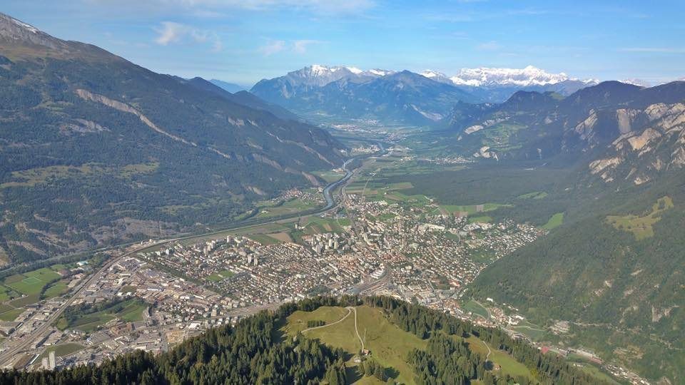
View from Brambrüesch down onto the town of Chur and the Rhine valley